

Subsurface As-Built Verification for Solar Field
BDI was contracted by Delta Oaks Group (DOG), Environmental Resources Management (ERM), and Dominion Energy to investigate a former landfill in Montrose, Virginia. The project team needed to better understand the extent and depth of a landfill cover that had been installed in 1978, despite the absence of historical construction records, site plans, or geotechnical documentation.
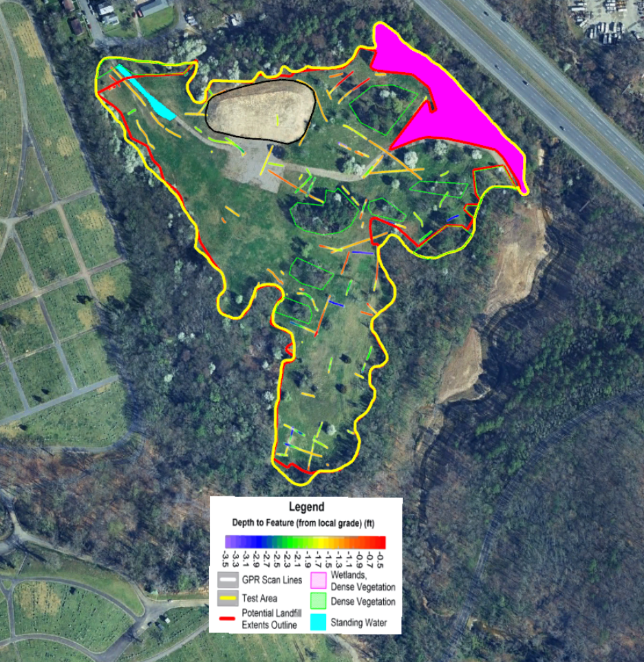
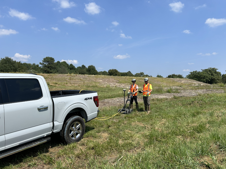
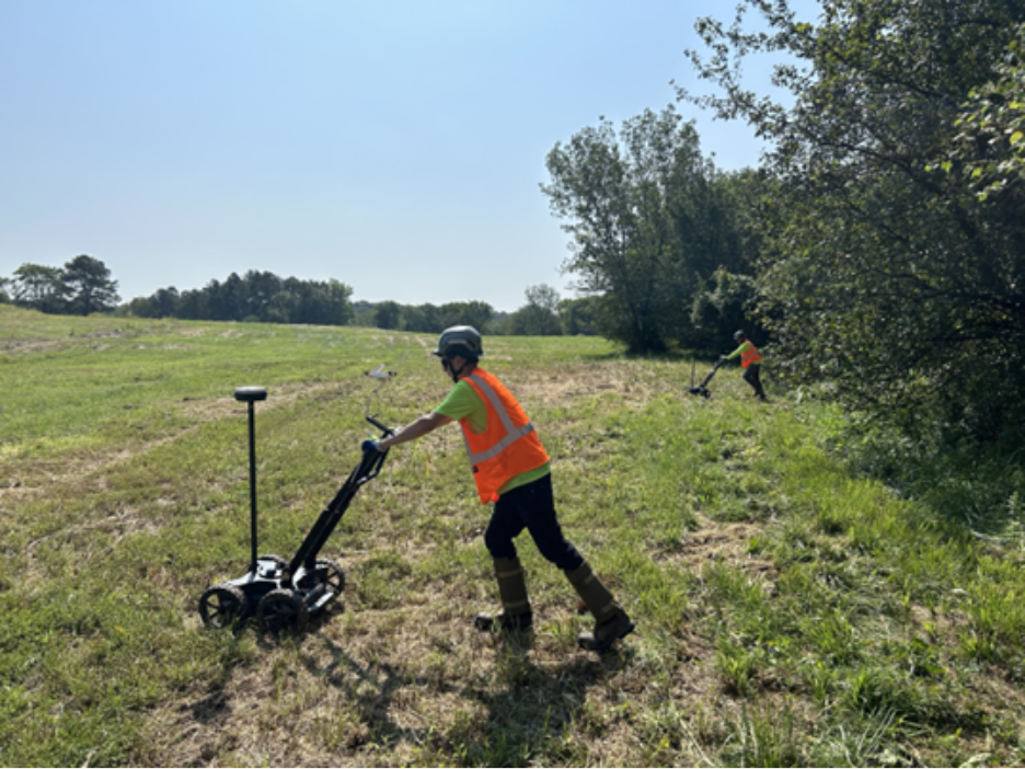
To support future development and engineering planning, the BDI NDE team performed a comprehensive Ground Penetrating Radar (GPR) investigation across approximately 934,000 square feet of the site. Using a survey-grade, GPS-enabled GPR system, the team collected more than 5.3 miles of subsurface data along a 50-foot by 50-foot testing grid, providing detailed coverage of the project area.
Because little information was available regarding the landfill’s construction, BDI evaluated areas both inside and outside the anticipated landfill boundaries. By comparing subsurface characteristics, the team developed a model that distinguished landfill materials from native soils and allowed for accurate interpretation of the landfill limits. BDI also identified high-amplitude subsurface anomalies that may indicate concentrations of buried landfill debris.
The investigation enabled BDI to estimate and develop as-built information for the landfill, including the extent and depth of the landfill cover. To make the results easily accessible in the field, BDI converted the findings into a GPS-enabled Google Earth KML file, allowing project stakeholders to visualize landfill boundaries and subsurface features in real time.